A new technological approach developed by BBE researchers will allow key stakeholders to identify important crop types earlier in the season than ever before.
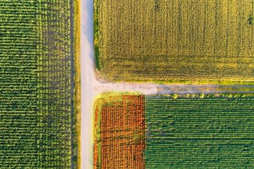
Satellite imagery has long been used by agricultural agencies to tell what crops are grown in the field. This allows stakeholders to forecast grain supplies, assess crop damage due to environmental factors and coordinate supply-chain logistics.
While this information is vital, currently available crop mapping products are unable to provide these statistics early in the farming season. For example, the crop data layer (CDL), a national crop mapping product by the USDA National Agricultural Statistics Service, is often not released until four to six months after the fall harvest. This is due to the lengthy ground information collection process that is required for training the backend algorithm for separating crops from satellite imagery.
In a study recently published in Remote Sensing of Environment, University of Minnesota researchers explain their development of a new method that would allow stakeholders to know where corn and soybean crops are grown as early as July, with similar accuracy to the USDA CDL, and without the need for ground surveys. Continue reading the full story here.